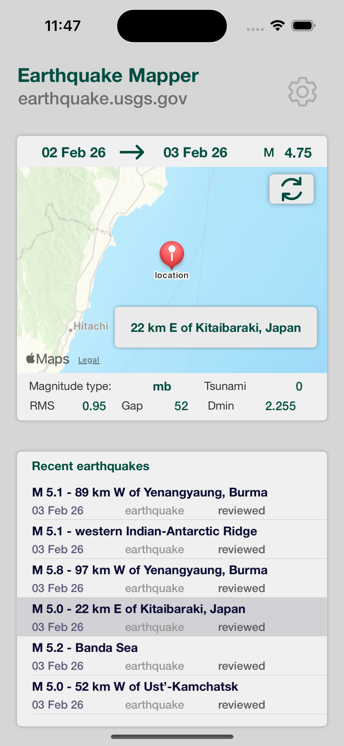
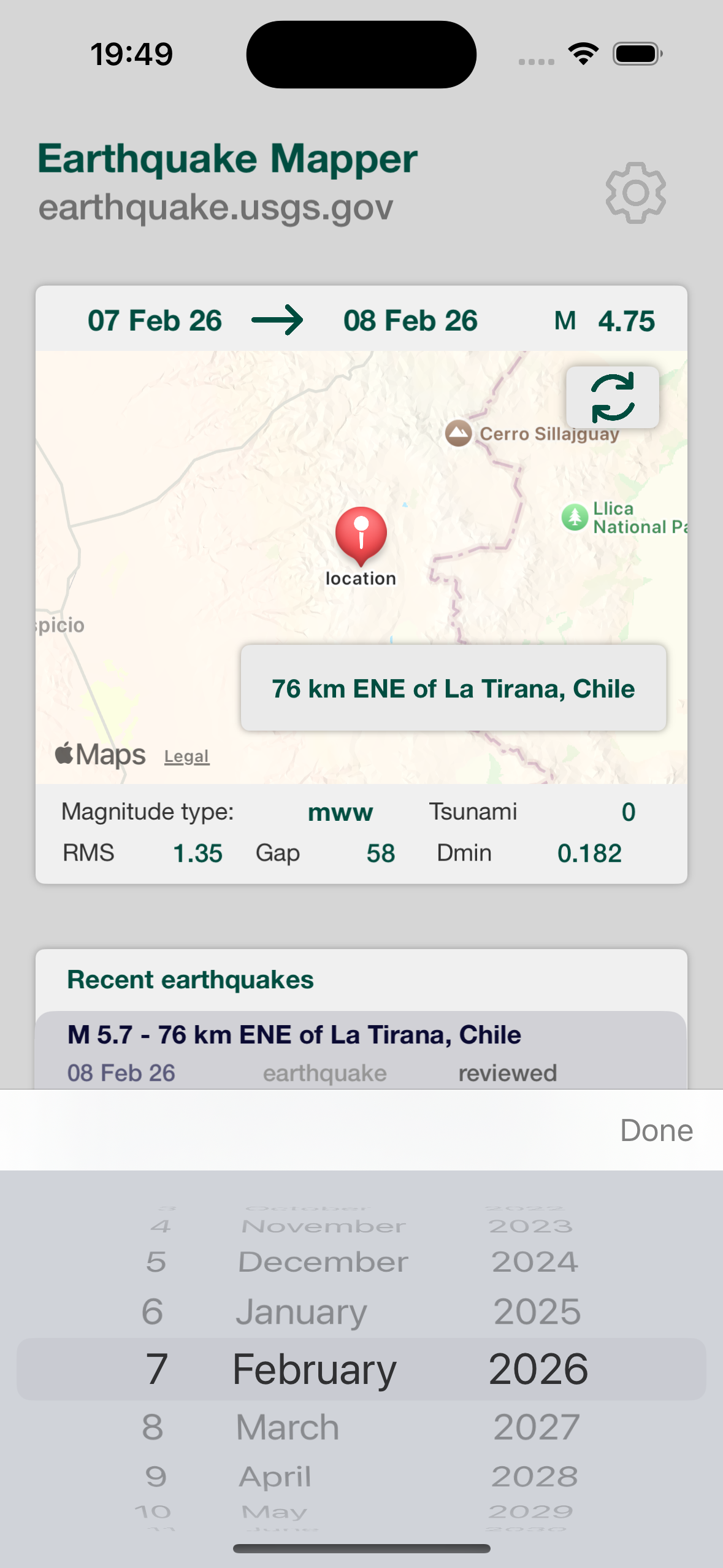
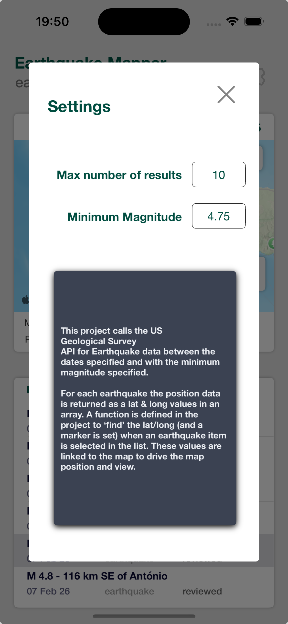
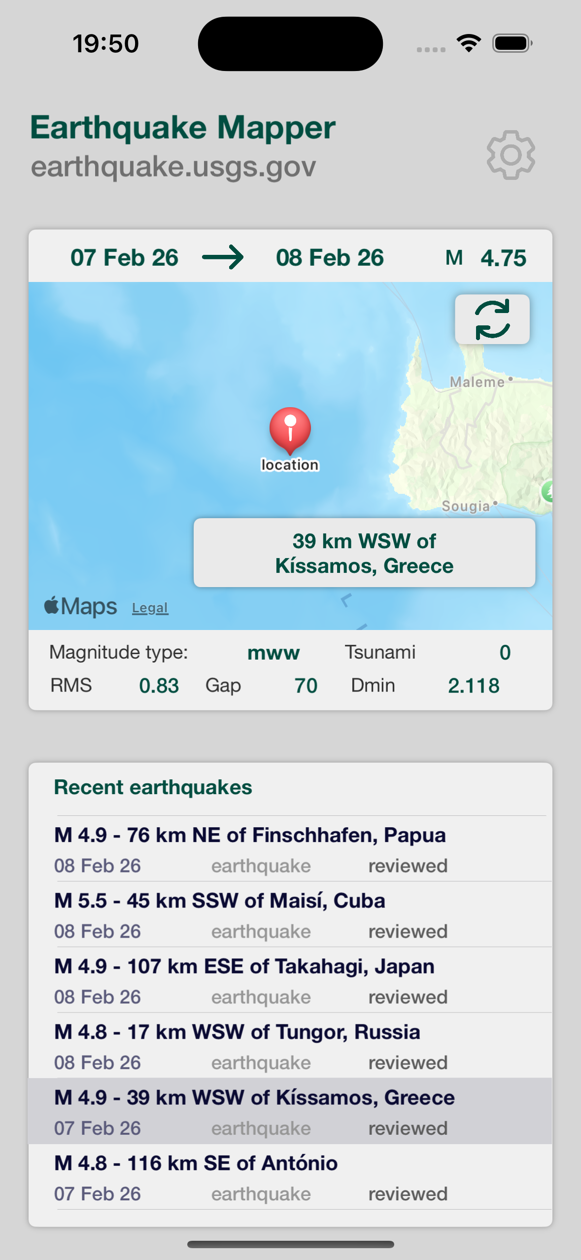
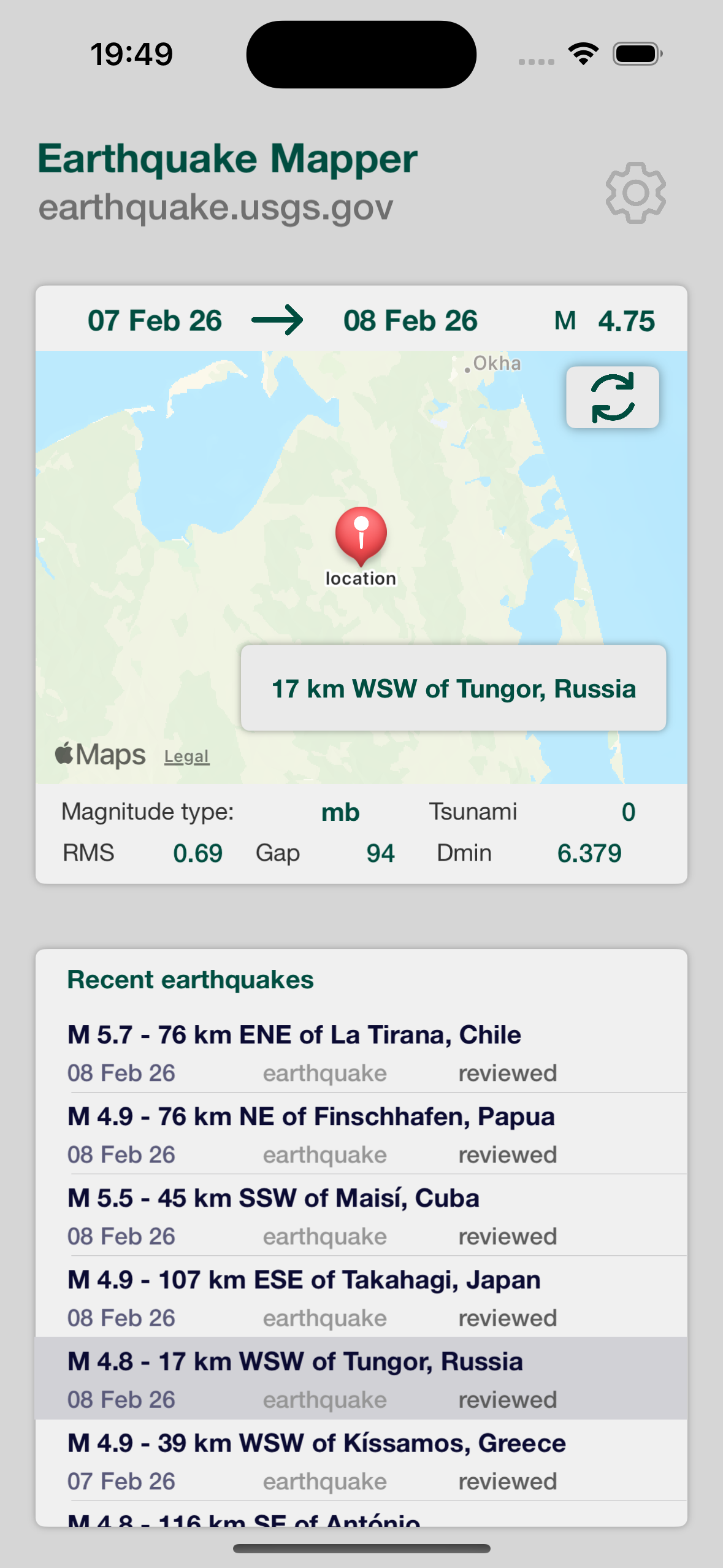
Earthquake Mapper is a mobile app that provides scientists and engineers with quick access to near real-time earthquake data from the US Geological Survey (USGS).
Designed for use in the field or on the move, it presents complex seismic data through clear, mobile-optimised visualisations that support rapid analysis and decision-making in any location.
With direct backend integration to USGS data feeds and a focus on clarity and performance, Earthquake Mapper enables researchers, academics and geological engineers to stay informed as seismic events unfold across the globe.